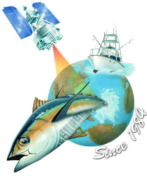


SeaView Fishing by Ocean Imaging- Satellite, Oceanographic & Weather Data
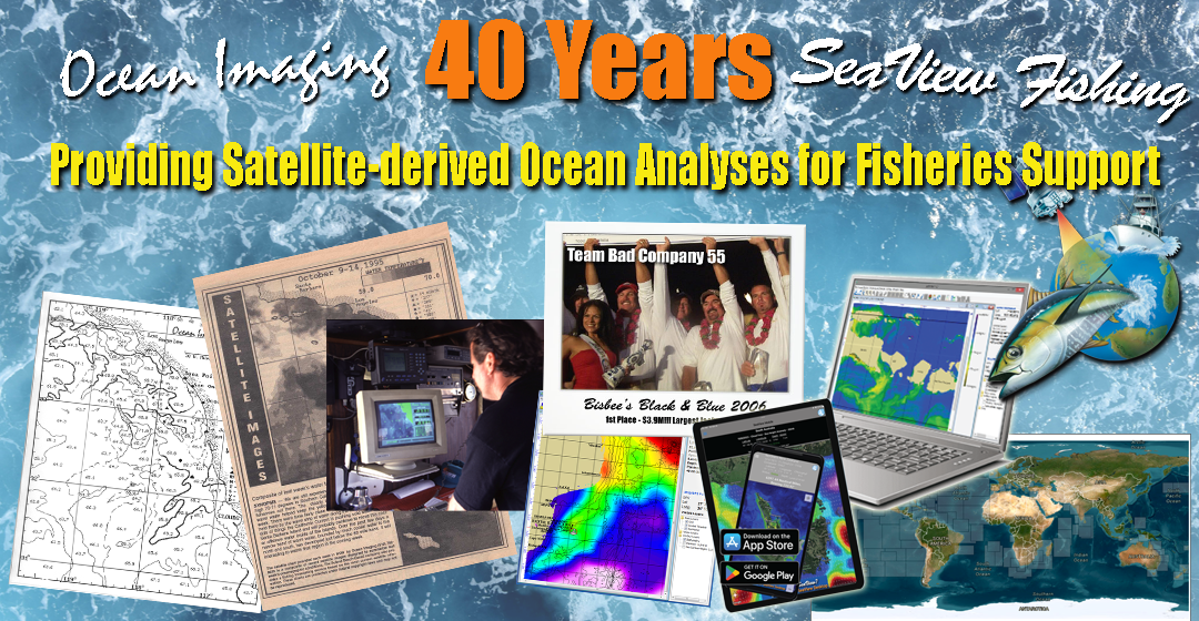
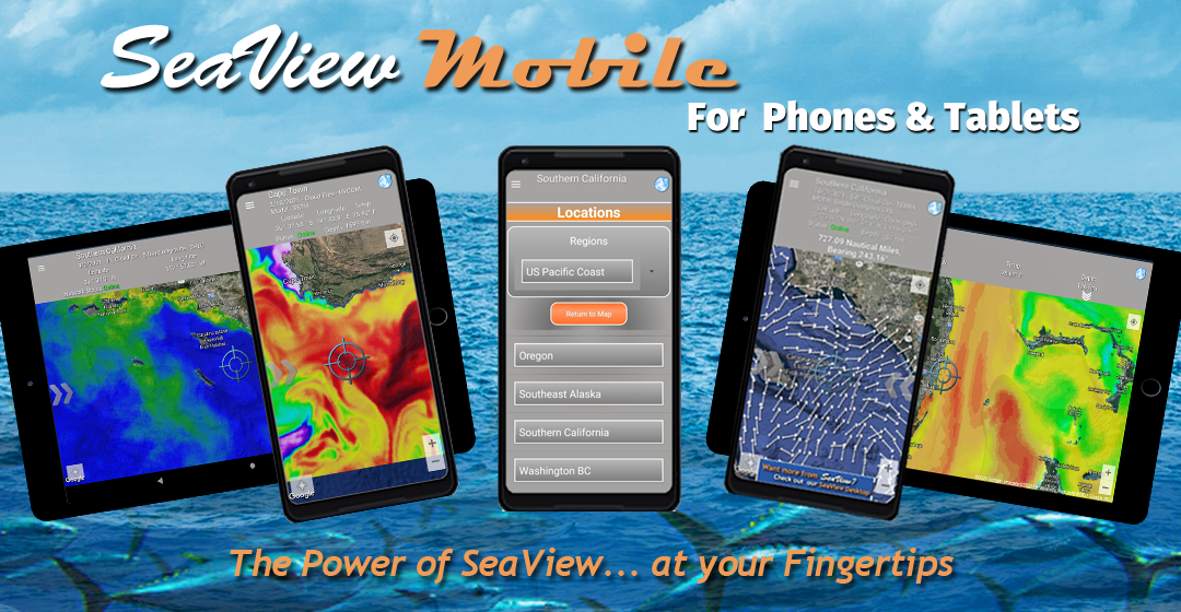
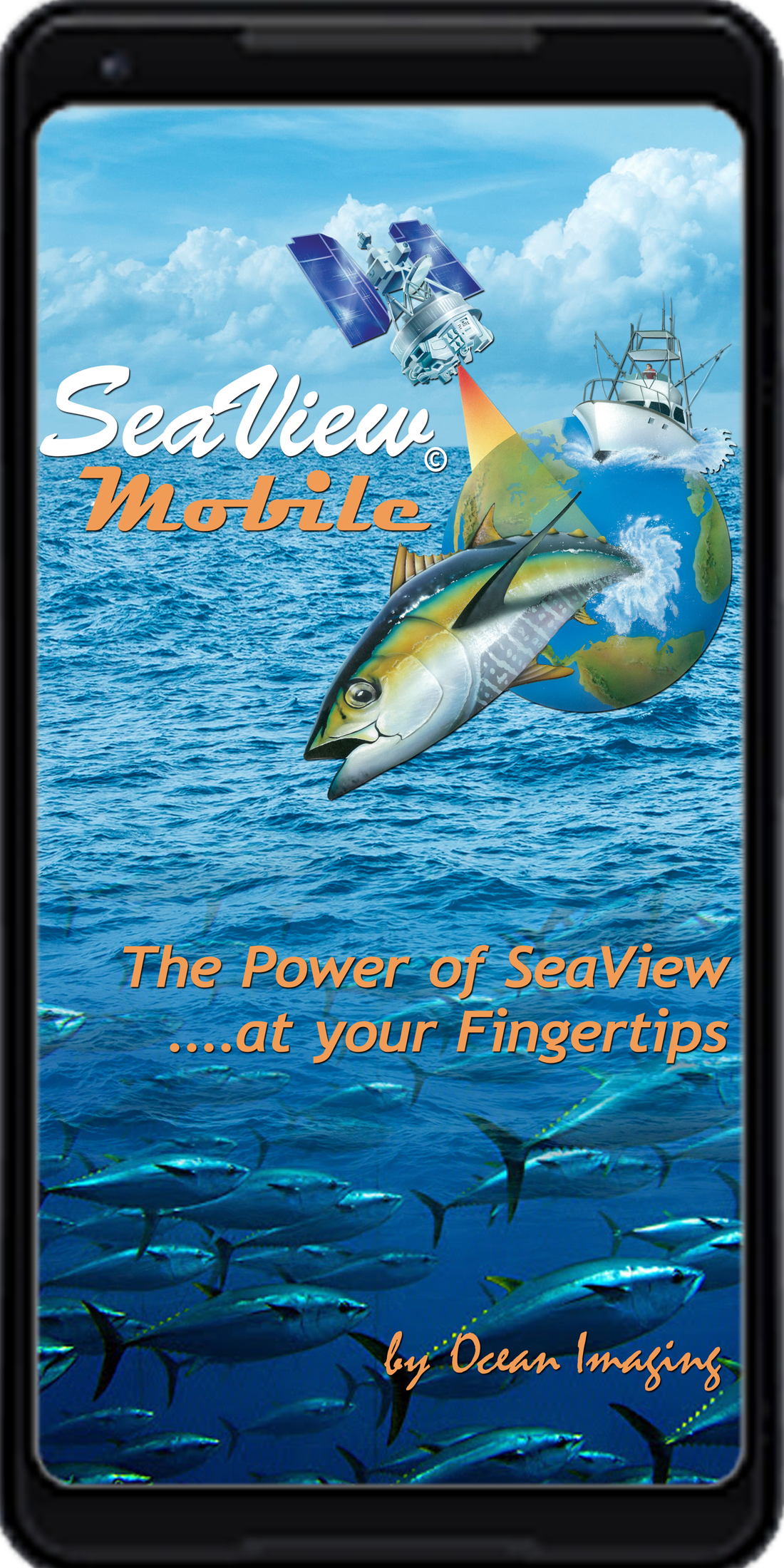
Serving the marine fishing community since 1984, Ocean Imaging's worldwide fish finding service has provided commercial fishers and anglers with the most accurate and reliable satellite and model-derived data products, saving fuel, time and money to better plan and manage their time on the water. Our time-tested SeaView PRO© commercial and SeaView Sport© desktop applications bring state-of-art oceanographic and weather data straight to your home, office or boat computer. Today, with our newly developed SeaView© Mobile app you can browse, download and view the latest ocean data faster than any other service—right at your fingertips!
SeaView Fishing Service Comparison Table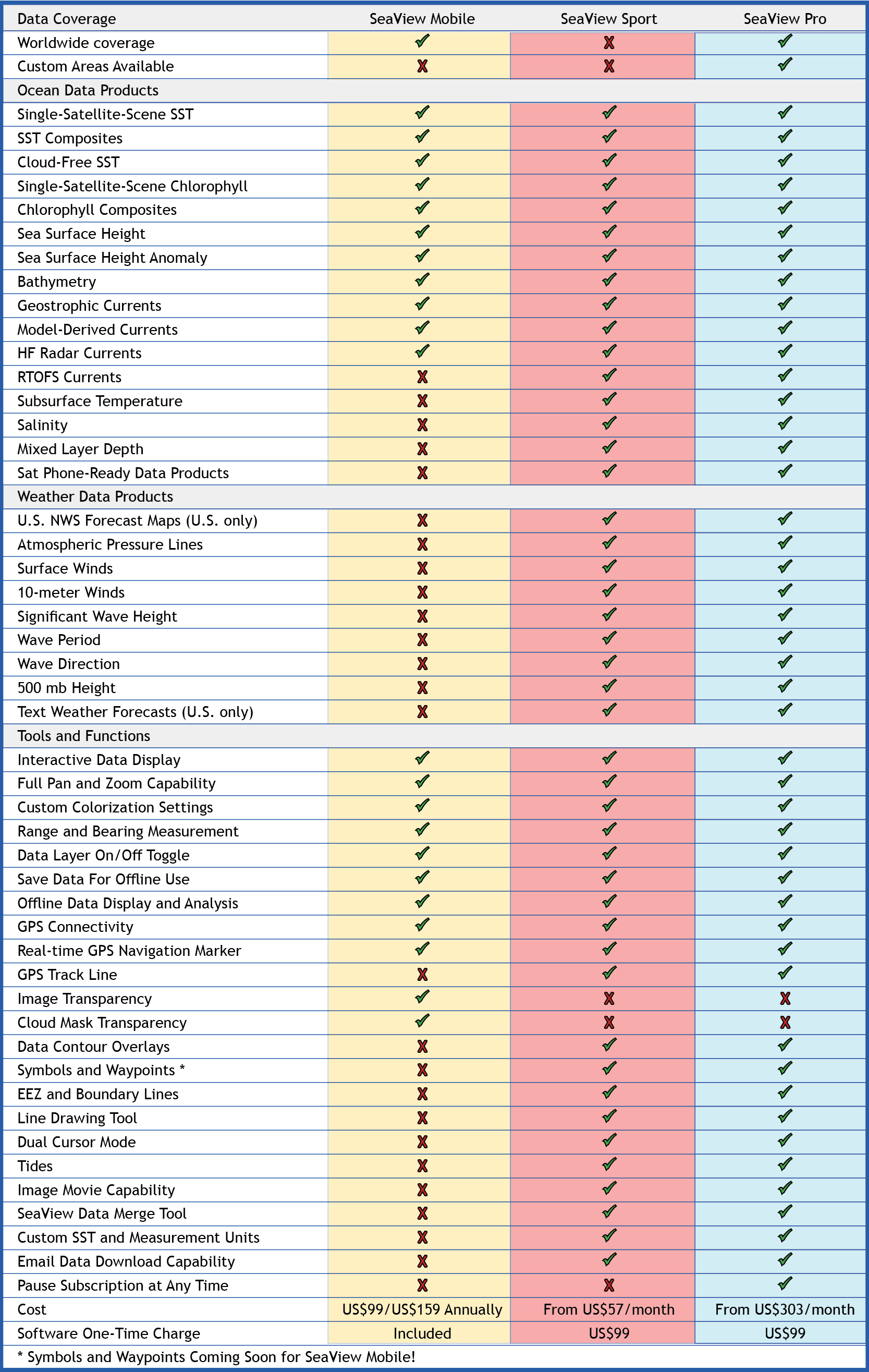
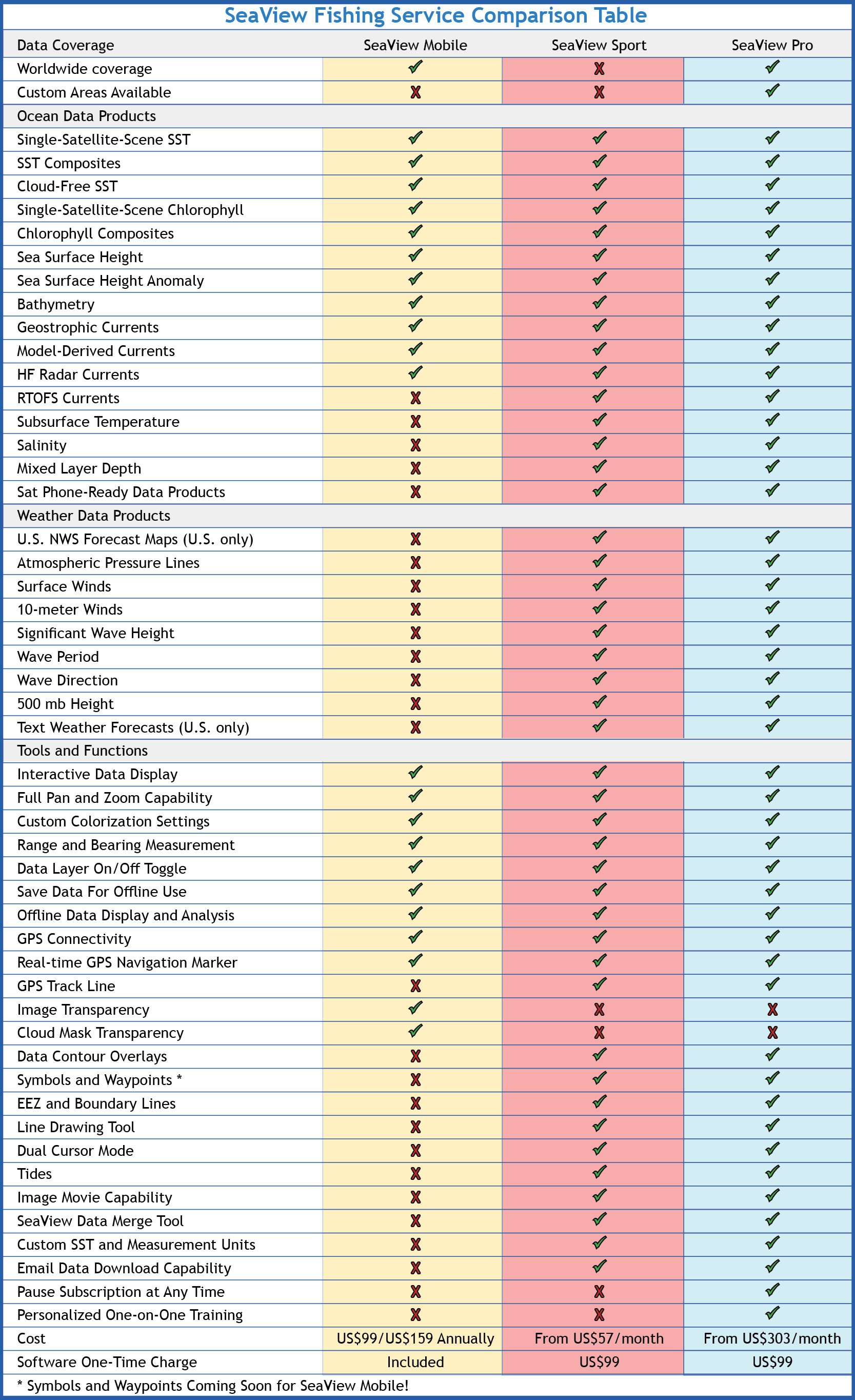
Our proven fisheries support expertise, timely, pinpoint accuracy data products along with the powerful SeaView software make us the leader in fisheries support world-wide. No other service offers the variety of oceanographic and weather data products, updated up to 4-12 times per day combined with the functionality of SeaView© - all for a very affordable price! SeaView© can be customized for your strategic needs and regions of coverage.
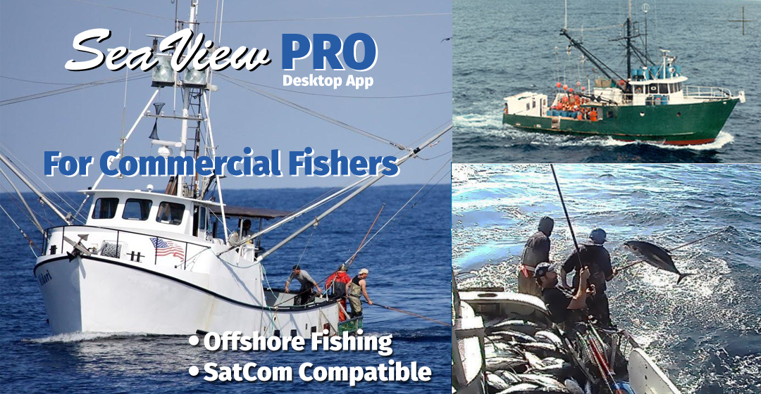
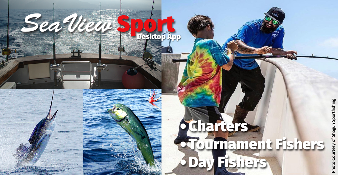
Whether you are a commercial fishing operation in need of a reliable, accurate oceanographic tool-kit or serious recreational angler looking for the best environmental information, Ocean Imaging's SeaView© software and service is the one to trust. We know that Real Data = Reel Result$ and the difference between static images downloaded from a website and the interactive, fish-finding power you get with near real-time data from SeaView.